 iefimerida
Greece Braces for Dangerous Storm System on April Fools' Day
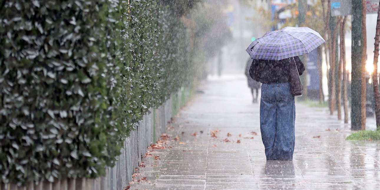
Greece is heading into a punishing stretch of winter-like weather, with meteorologists warning that a powerful low-pressure system will unleash heavy rains, flooding and near-hurricane-force winds across much of the country Wednesday, April 1. Meteorologist Giannis Kallianos said the storm will be at its most destructive on Wednesday, when the system reaches peak organization. Rainfall in the hardest-hit zones could exceed 100 millimeters within 24 hours, raising the risk of localized flooding. Winds are forecast to reach 8 to 9 Beaufort — roughly 60 to 75 kilometers per hour — with gusts topping 10 Beaufort in places. "The combination of strong winds and intense rainfall makes the situation considerably more dangerous," Mr. Kallianos said, adding that an emergency bulletin for hazardous weather conditions was expected to be issued within 48 hours. The storm is expected to develop from Tuesday evening, initially affecting western and northern regions and the islands of the Eastern Aegean, before intensifying sharply by Wednesday. The areas facing the gravest risk include Attica, Euboea, the Sporades, the eastern and southern Peloponnese, central and eastern mainland Greece, Thessaly and large parts of Macedonia and the Aegean. Mr. Kallianos urged authorities to place emergency services on heightened alert and advised citizens to plan travel carefully in affected areas, while stressing the storm, though potent, was not unprecedented. Fellow meteorologist Thodoris Kolydas echoed the warning, noting the Mediterranean was increasingly showing "its most extreme face, with deep low-pressure systems, catastrophic rains and significant loss of life." Mr. Kolydas called for "caution and composure" as the system approaches. The storm is expected to ease by Thursday. Διαβάστε περισσότερα στο iefimerida.gr
Go to News Site